Address
Ohio University, Voinovich School of Leadership and Public Affairs, The Ridges, Building 22, Athens, OH 45701, USA
Raccoon Creek is one of Ohio’s Longest Streams!
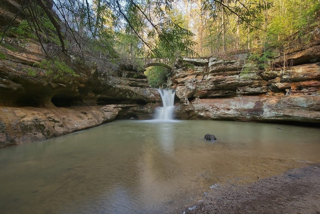
The Raccoon Creek watershed covers 683.5 square miles in six different counties (Athens, Hocking, Vinton, Jackson, Meigs, and Gallia). The headwaters of Raccoon Creek join near the village of New Plymouth in northern Vinton County, and eventually drain into the Ohio River downstream from Gallipolis. From the confluence, the stream travels 112 miles through the Wayne National Forest, Zaleski State Forest, and several towns and villages, such as Carbondale, McArthur, Rio Grande, Vinton, Wellston and Wilkesville.
Seventy to seventy-five percent of the watershed is forested. People have used the remaining land for crops and pastures, as urban areas, for resource extraction and for other uses.
The steep hillsides, narrow valleys and highly erodible soils in this unglaciated region means that only about 20 to 25 percent of the land is fit for agricultural activity. Most farming happens in the river’s floodplain, and most farms are located in the rich soil and flatter landscape of the southern portion of the watershed. In fact, Bob Evans Farms is located in Gallia County.
Many people use the public lands in the watershed for hiking, fishing, boating, hunting and bird watching.
Ohio University, Voinovich School of Leadership and Public Affairs, The Ridges, Building 22, Athens, OH 45701, USA